South-east Queensland Braces for a Drenching with Gold Coast to be Worst Hit
![]()
Story by Brisbane Times.
Read the Brisbane Times’ full story here
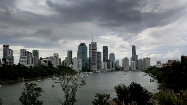
IF YOU’RE heading out today, Tuesday June 13, you had better keep your brolly handy, as heavy rain and strong winds close in on south-east Queensland.
A trough off the coast was expected to move inland overnight and bring wet weather on Tuesday, with the bureau warning of isolated falls in excess of 100 millimetres.
BoM forecaster Rick Threlfall said the trough was predicted to develop into a low pressure system on Monday night before delivering heavy rain from Brisbane down to the New South Wales border.
Strong winds along the southern coast were also forecast, with the potential for gale-force winds offshore.
Mr Threlfall said the Gold Coast would be the worst hit, with rain between 50 and 100 millimetres expected to arrive first thing on Tuesday and bring possible heavier falls over hinterland areas.
Brisbane should be partly cloudy on Tuesday morning as the system developed before delivering “fairly steady rainfall” of up to 50 millimetres later on.
However, the bureau was not expecting flash flooding and said the winds of up to 80km/h did not warrant a severe wind warning.